Blog Archives
Cefn Arthen- Cwm Crychan link
NOTE:
A section of this trail to be temporarily closed from 21st September 2026. From post 119 via 118 to 110.
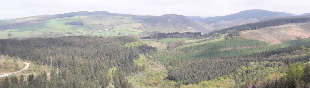
Follow this link past the Babel shelter and picnic site and take in the excellent views of the western Brecon Beacons. You can get emergency mobile phone coverage here.
This route links the Cefn Arthen trail to the Cwm Crychan trail.
Cefn Arthen- Cwm Crychan link Trail Map (800.2 KiB)
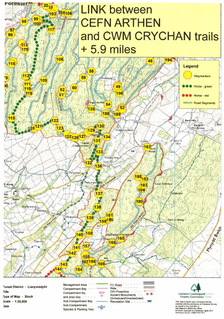
Cefn Arthen- Cwm Crychan link Trail Map (800.2 KiB)
Cwm y Glyn
Forestry work on this trail between 164 and 168 is now complete but the track has not been reinstated. So it is advisable to avoided this section by staying on the forestry road.
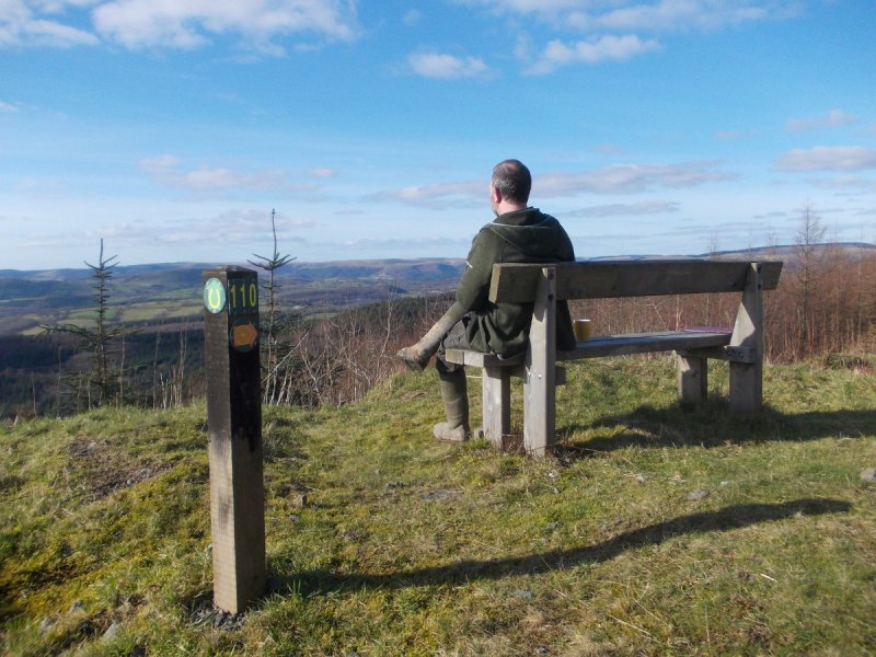
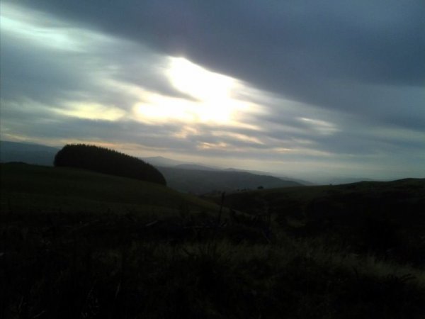
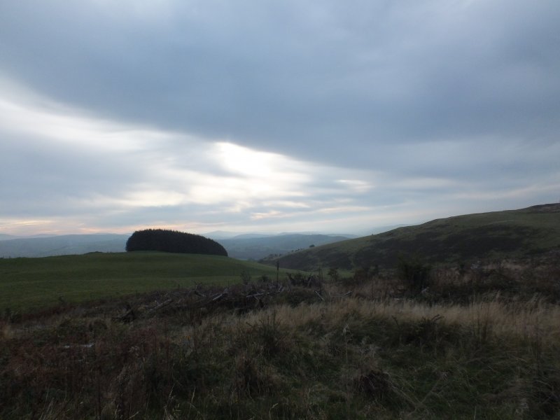
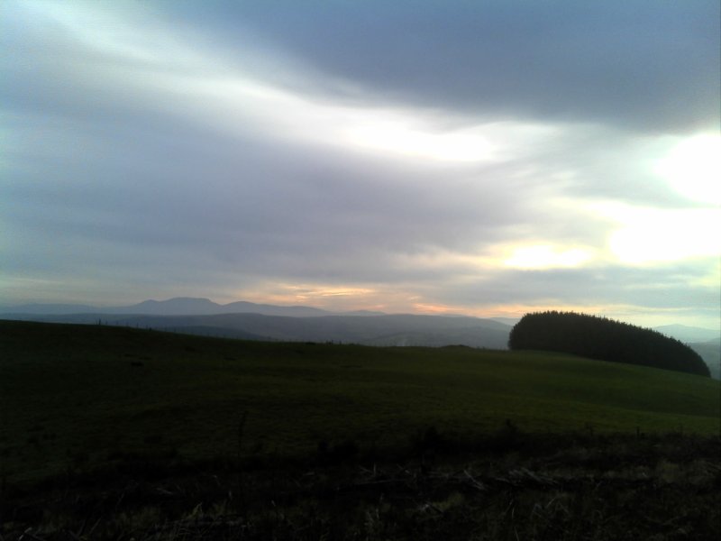
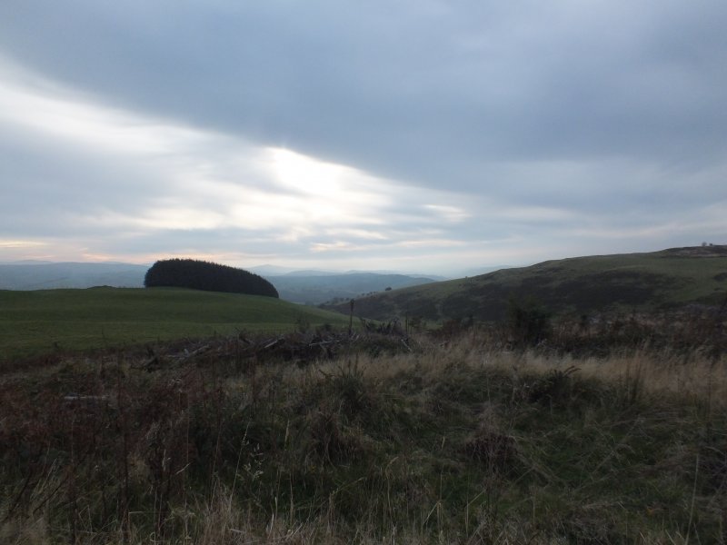
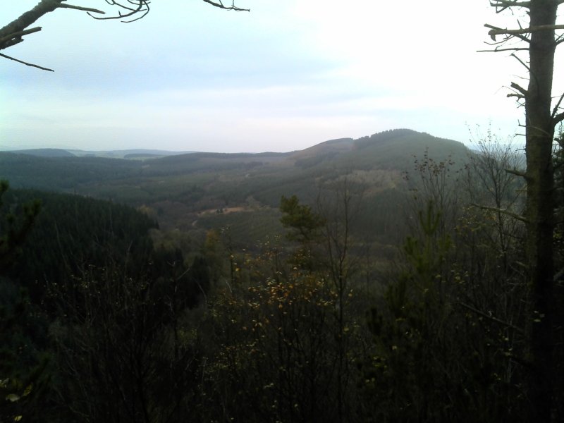
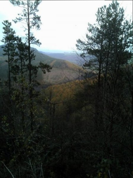
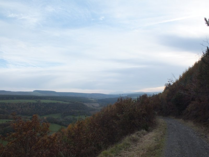
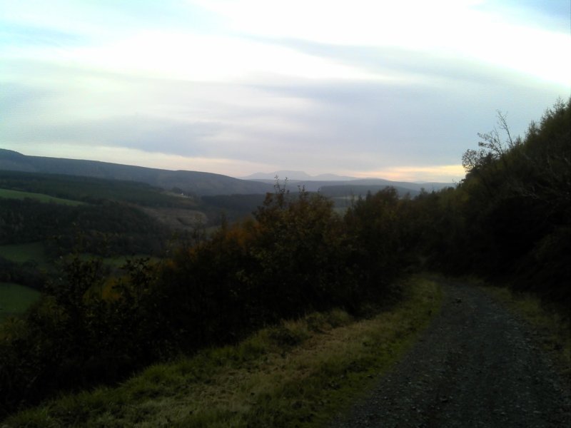
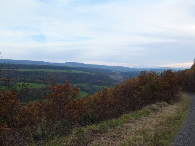
Follow this extension to the Cefn Arthen trail along the road up to the Army ranges before turning back along tracks with good views across Cwm y Glyn.
Cwm y Glyn Trail Map (694.3 KiB)
Cwm y Glyn - Horse Trail - GPX file (14.0 KiB)
Cwm y Glyn - CFA - Horse Trail
Profile
Description
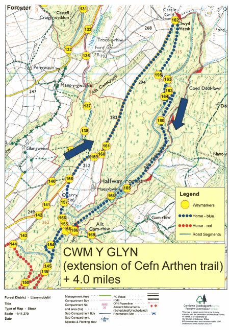
Cwm y Glyn Trail Map (694.3 KiB)
Cefn Arthen
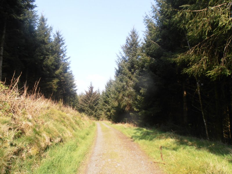
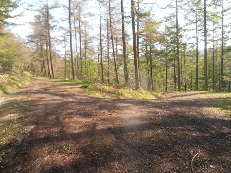
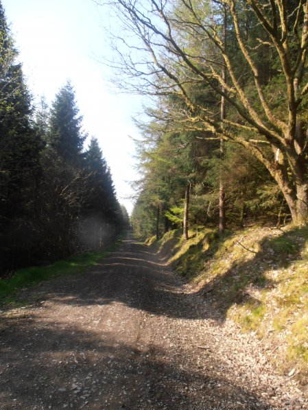
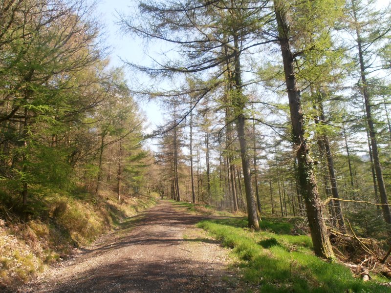
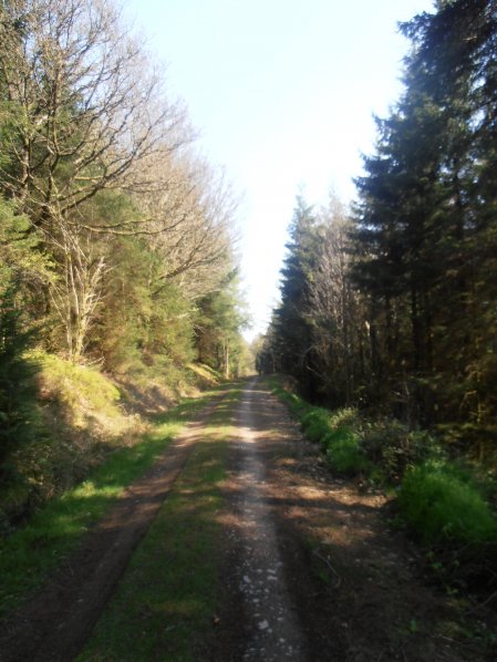
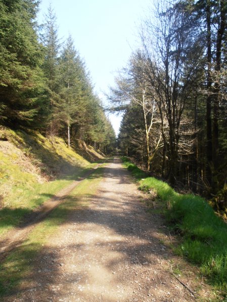
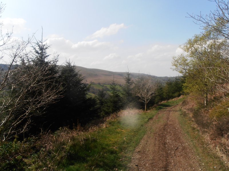
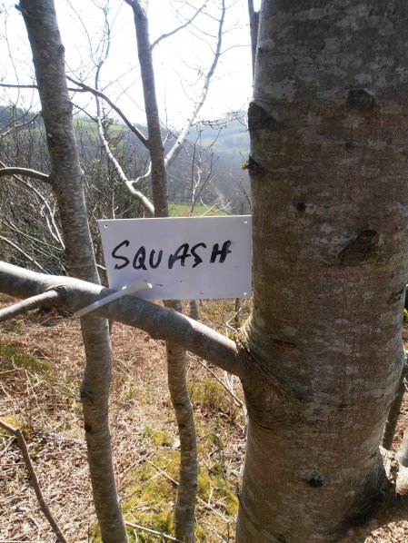
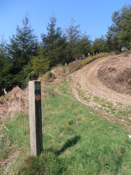
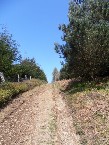
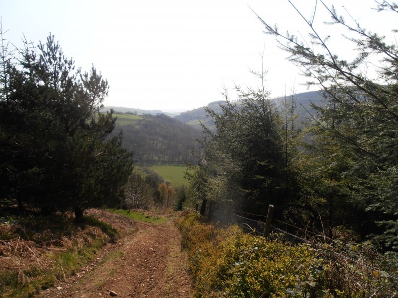
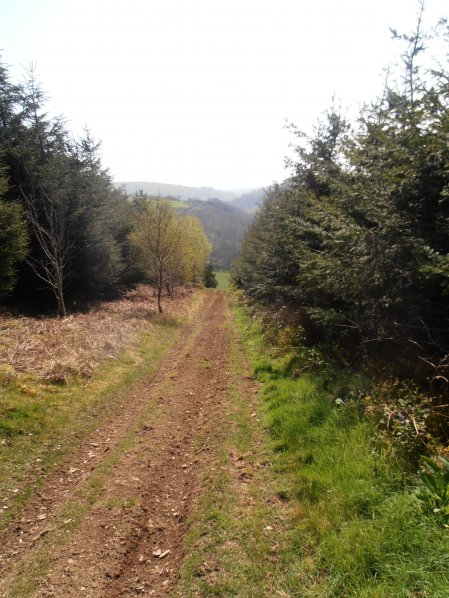
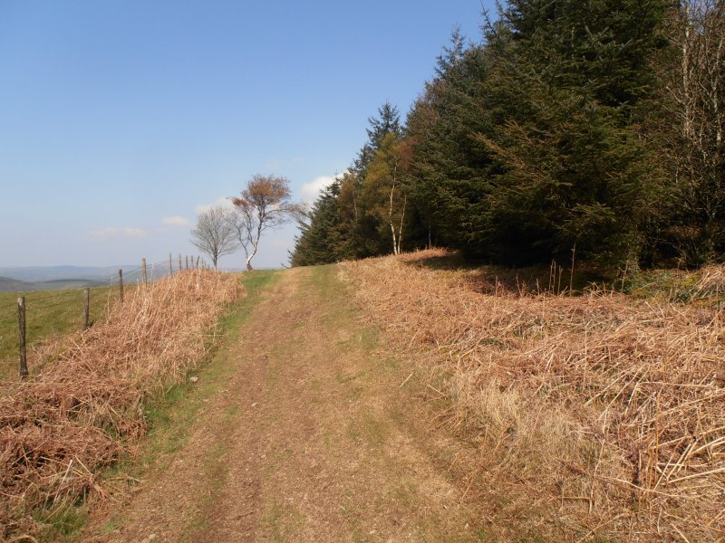
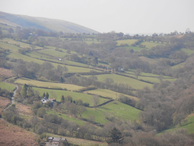
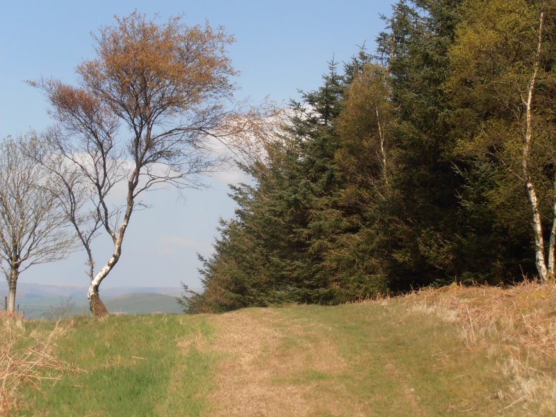
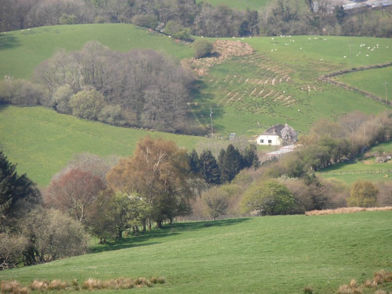
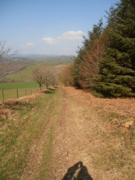
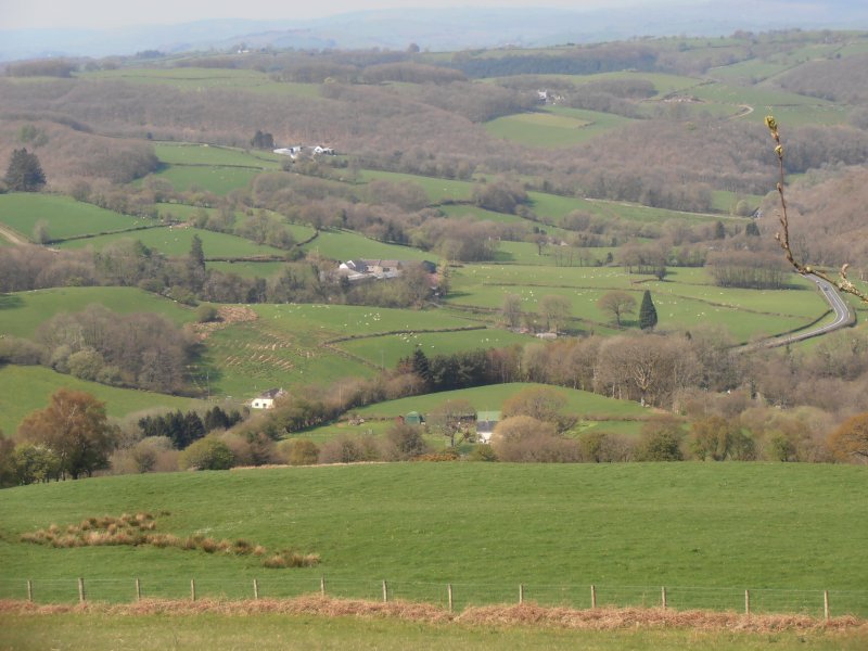
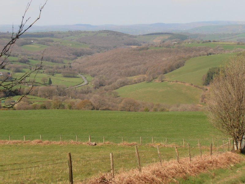
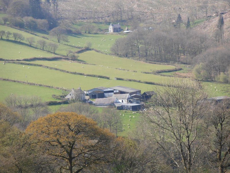
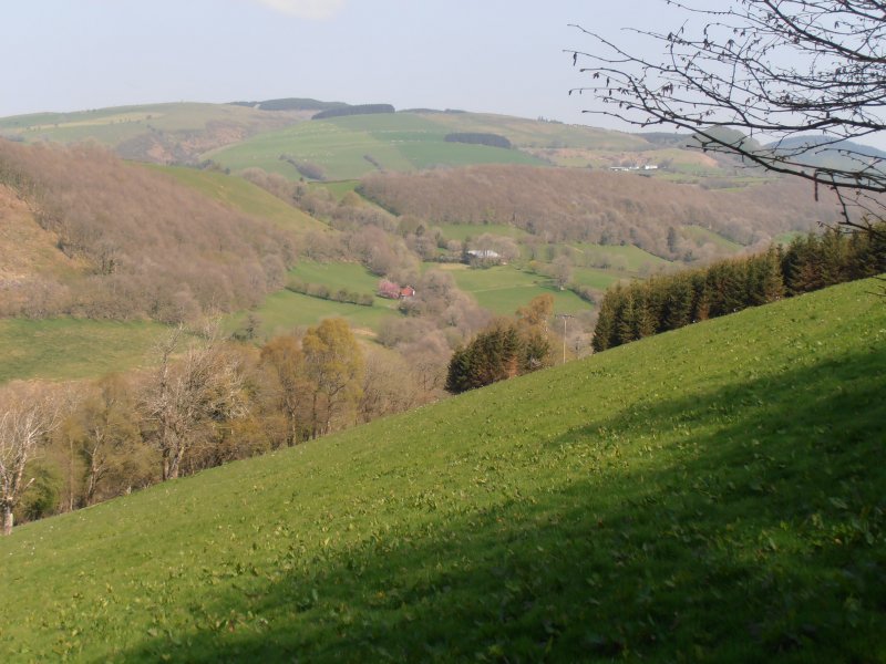
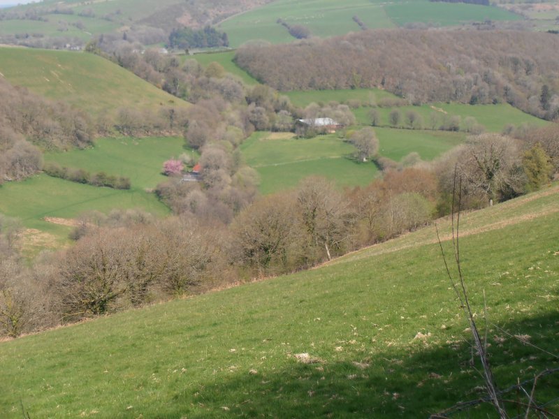
Climb steadily from the waters of Nant y Dresglen, with the promise of excellent views of the western Brecon Beacons. This trail can be extended by the the Cwm y Glyn trail.
Cefn Arthen Trail Map (650.4 KiB)
Cefn Arthen - Horse Trail - GPX file (9.1 KiB)
Cefn Arthen - CFA Horse Trail
Profile
Description
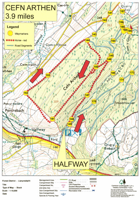
Cefn Arthen Trail Map (650.4 KiB)
Cwar Cerrig
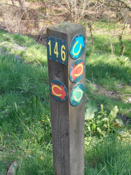
Try this extension to the Cwm Dulais trail climbing over higher ground with great views before descending by the stone quarry.
Cwar Cerrig Trail Map (632.6 KiB)
Cwm Dulais & Cwar Cerrig Trail Map (2.2 MiB)
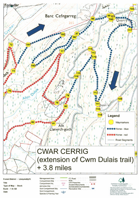
Cwar Cerrig Trail Map (632.6 KiB)
Cwm Dulais & Cwar Cerrig Trail Map (2.2 MiB)
Cwm Dulais
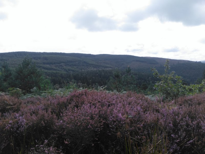
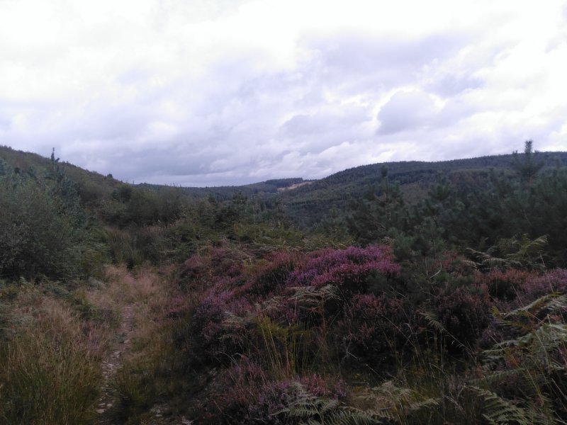
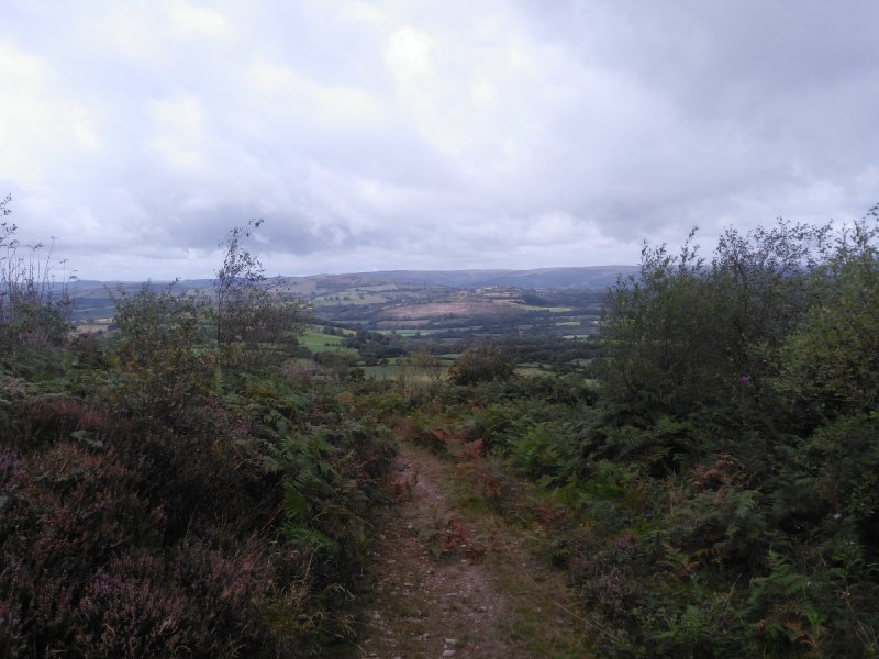
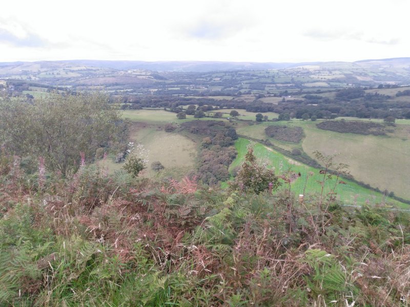
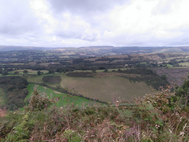
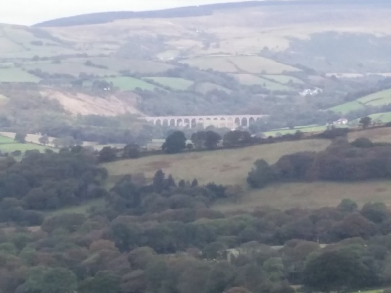
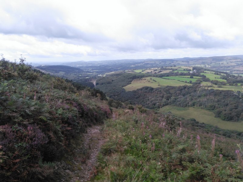
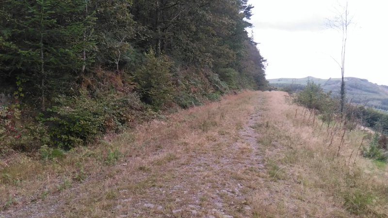
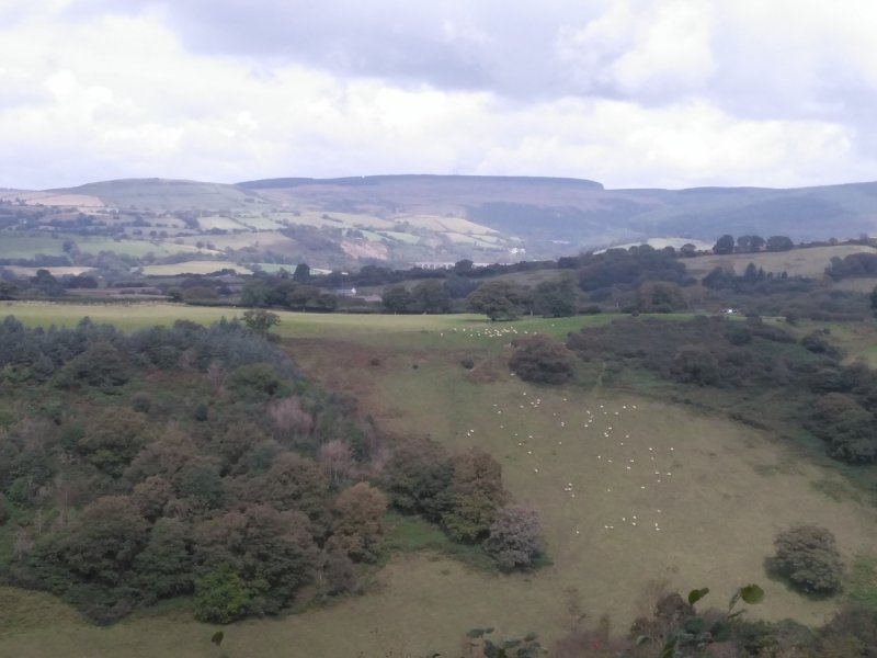
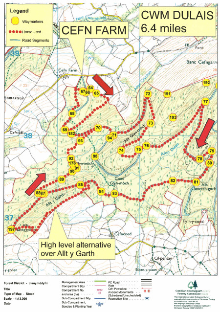
Enjoy the views of wooded Cwm Dulais and try to stay dry when passing through the three fords.
This route can be extended by using the Cwar Cerrig Trail from point 73 and rejoining at point 79. This makes the total route 8.6 miles.
Cwm Dulais Trail Map (693.8 KiB)
Cwm Dulais Horse Riding Trail GPX file (27.0 KiB)
Trail 11 Cwm Dulais
Profile
Description
Cwm Dulais Trail Map (693.8 KiB)
Allt Cwmcrychan
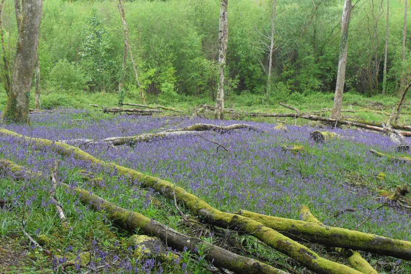
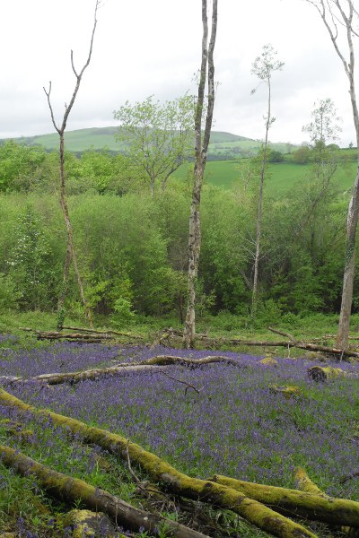
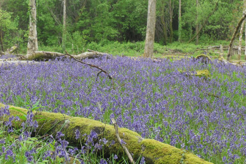
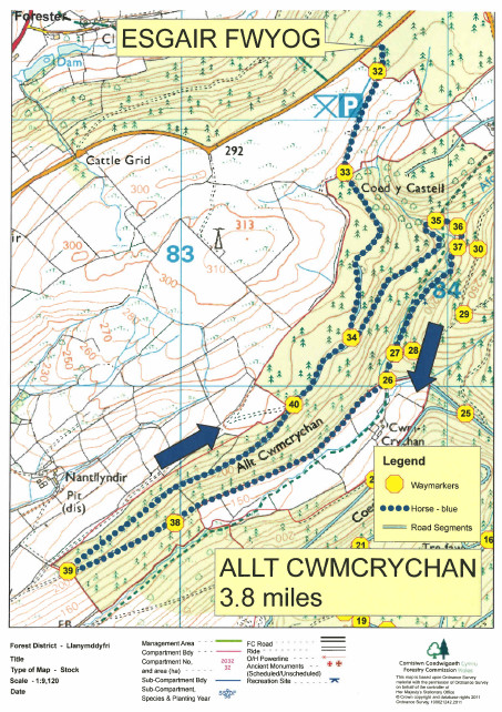
Take in the long views over open pastures and drop down into Cwm Crychan, before climbing out of the valley along the forest road.
Allt Cwmcrychan Trail Map (659.2 KiB)
Allt Cwmcrychan Trail Map (659.2 KiB)

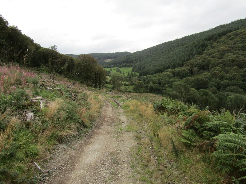

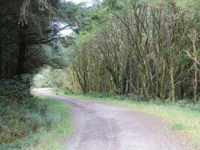
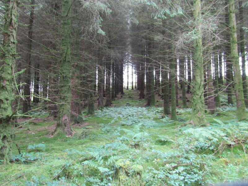
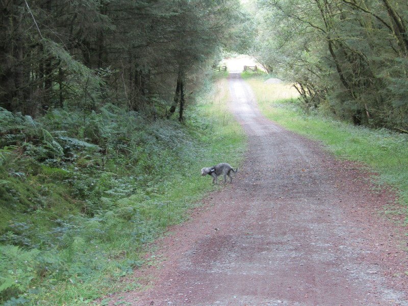
Cwm Crychan
Trail Map shows the new layout at Brynffo car park
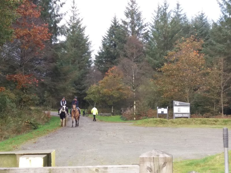
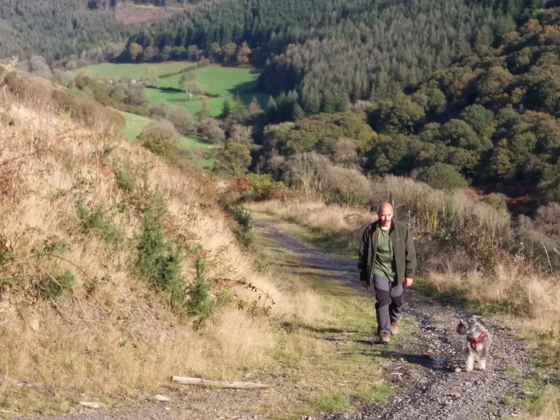
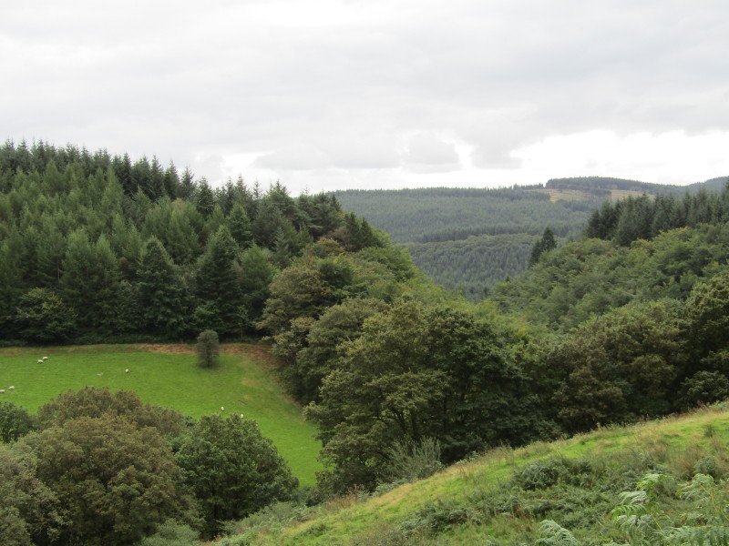
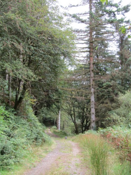
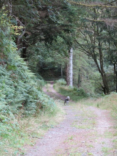
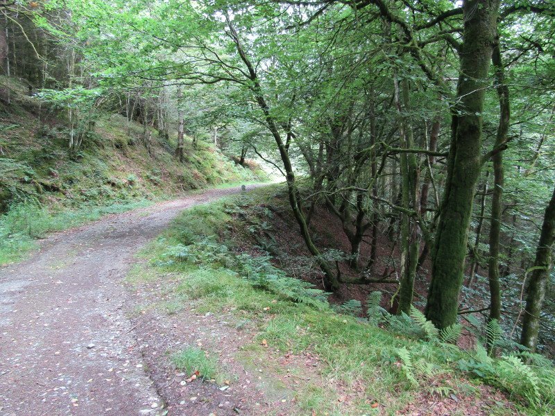
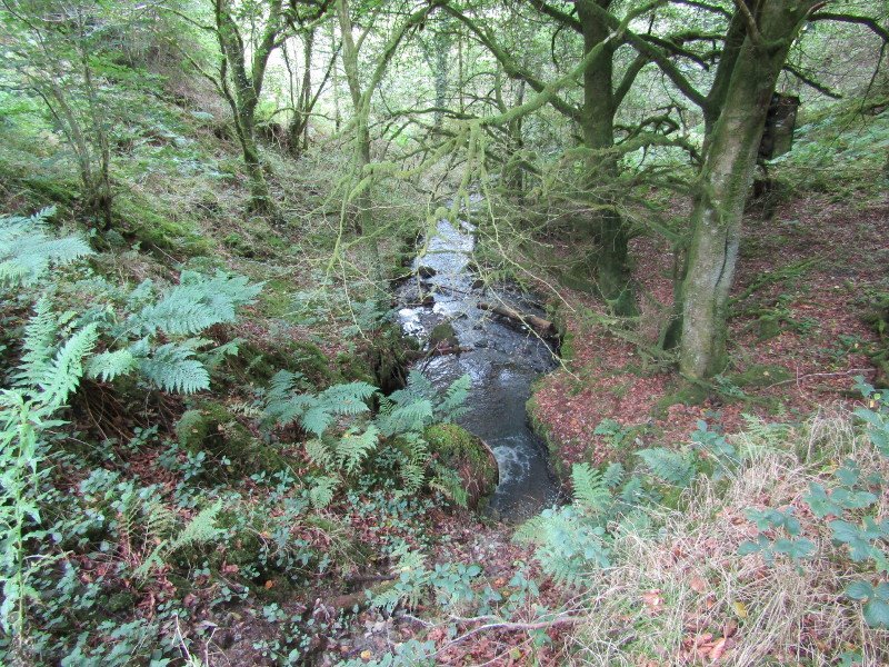
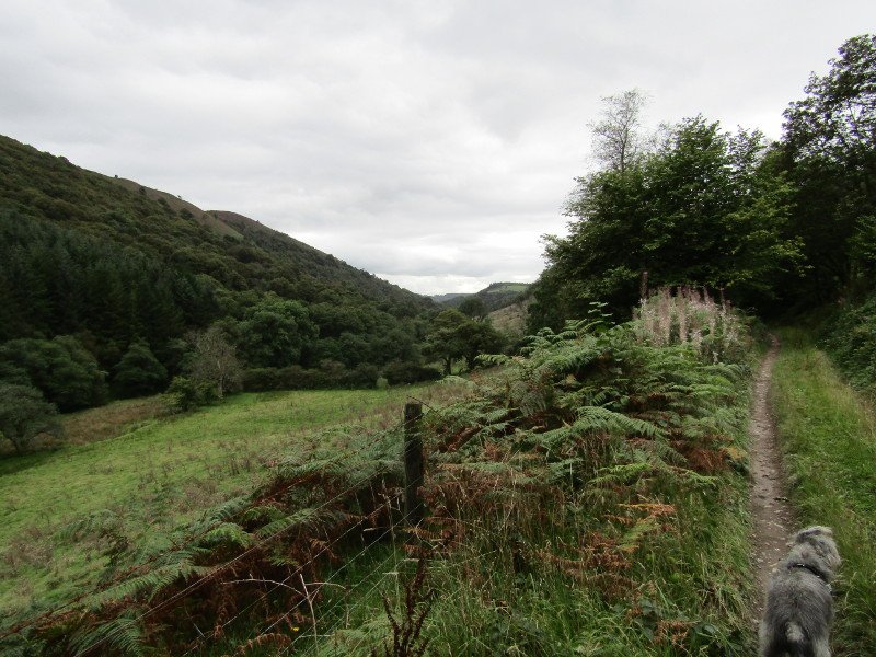
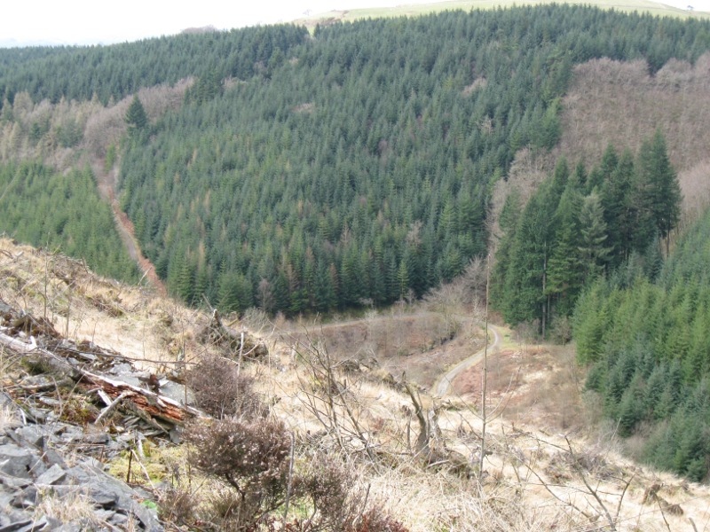
Take the winding tracks through the forest to the Cwm Crychan viewpoint, with amazing views over the lower Tywi valley. Here you will find a hitching rail and picnic table.
Trail 10 Cwm Crychan - Map (1.1 MiB)
Cwm Crychan - CFA - Horse Trail - GPX file (13.7 KiB)
Cwm Crychan - CFA - Horse Trail
Profile
Description
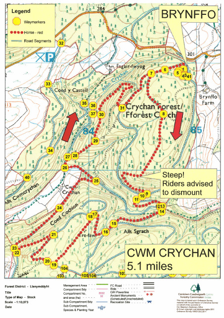
Trail 10 Cwm Crychan - Map (1.1 MiB)
Activities in the Forest
Early Bird Enduro
Sunday 4th October 2026
Welsh Trail Riders Association
www.wtra.co.uk
Open access to the forest will be suspended during this motor sport event.