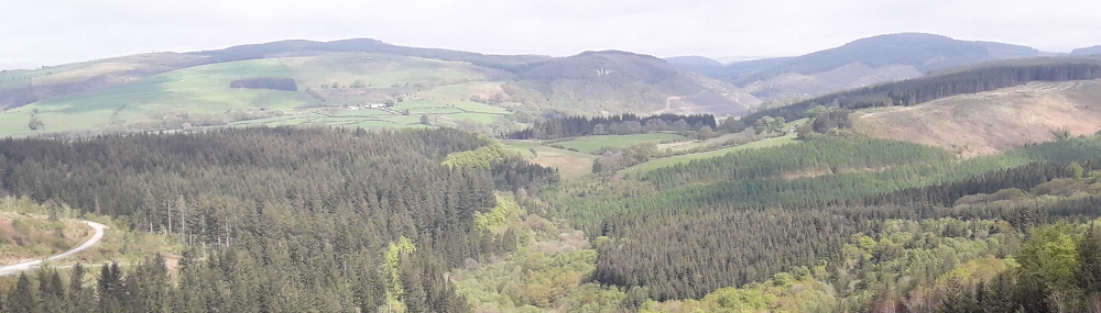
Allt Troedrhiw-fer
Car Park: Halfway
Length: 2.4 Miles 4.0 Kilometres
Follow the forest road over the waters of Nant y Dresglen before returning along the side of Allt Troedrhiw-fer. A link trail joins onto the Epynt Way.
Link to Epynt way currently closed due to fallen trees blocking the path and the danger of falling branches. An alternative route can be found by following the main forestry road around the quarry.
 Allt Troedrhiw-fer Trail Map (634.1 KiB)
 Halfway Cycle Trail Allt_Troedrhiw-fer - GPX file (6.5 KiB)
Allt Troedrhiw-fer - Epynt Way link Map (657.8 KiB)
Halfway-Cycle Trail-Allt_Troedrhiw-fer
Profile
Description
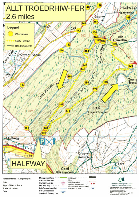
Allt Troedrhiw-fer Trail Map (634.1 KiB)
Allt Troedrhiw-fer - Epynt Way link Map (657.8 KiB)
Activities in the Forest
Nicky Grist Stages 2025
Saturday 12th July 2025
www.nickygriststages.co.uk
Open access to the forest will be suspended during this motor sport event.
Beacons Rally 2025
19th and 20th July July 2025
Welsh Trail Riders Association
www.wtra.co.uk
Open access to the forest will be suspended during this motor sport event.
Roger Albert Clark Rally 2025
Thursday 20th and Friday 21sth November 2025
Website: http://racrmc.org/
Open access to the forest will be suspended during this motor sport event.

Have you been on this trail? Please send us your photos of your trip to Crychan. If you experienced a major problem with a trail (like a tree down blocking a trail) please let us know so we can get it rectified.